


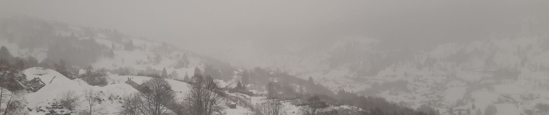
la bresse - le moutier des fées

stef789
User GUIDE
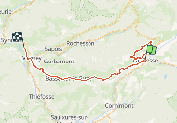

Length
26 km

Max alt
1051 m

Uphill gradient
732 m
Km-Effort
36 km

Min alt
395 m

Downhill gradient
976 m
Boucle
No
Creation date :
2020-02-26 12:15:12.115
Updated on :
2020-02-26 16:04:58.094
3h26
Difficulty : Very easy

FREE GPS app for hiking
 SityTrail
IGN / Geographical institutes
SityTrail Plus
The world is yours!
About
Trail Walking of 26 km to be discovered at Grand Est, Vosges, La Bresse. This trail is proposed by stef789.
Photos


Positioning
Country:
France
Region :
Grand Est
Department/Province :
Vosges
Municipality :
La Bresse
Location:
Unknown
Start:(Dec)
Start:(UTM)
341522 ; 5319108 (32U) N.
Comments
i utile de marcher le trajet de retour en voiture 🤪😜 la rando fait 9 km